Introduction: The Shift in Somalia’s Groundwater Strategy
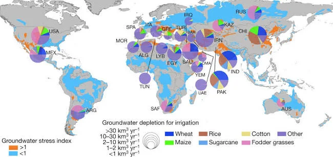
In the Horn of Africa, groundwater is no longer viewed merely as a last-resort coping mechanism during severe droughts. Across Somalia, international bodies and national water authorities are transitioning toward data-driven groundwater governance, real-time monitoring, and sustainable aquifer management.
Recent programmatic updates from FAO SWALIM, the Intergovernmental Authority on Development (IGAD), and the International Groundwater Resources Assessment Centre (IGRAC) highlight how continuous hydrological telemetry, transboundary aquifer mapping, and infrastructure rehabilitation are laying the foundation for long-term water security.
1. Real-Time Telemetry: FAO SWALIM’s Groundwater Monitoring Network
Groundwater dynamics in Somalia undergo rapid changes due to irregular seasonal rainfall and localized extraction rates. FAO SWALIM’s Somalia Climate TimeSeries Groundwater Data Network provides real-time observational data from strategic boreholes across Somalia (such as station GW36 in Xeraale, Galgaduud and station GW33 in Dhahar, Sanaag).
* Automated Data Logging: Boreholes equipped with automated diver sensors record hourly water level fluctuations, pumping drawdowns, and temperature.
* Water Quality & Conductivity: Continuous electrical conductivity monitoring helps track groundwater salinity shifts, alerting engineers to over-extraction risks or saltwater intrusion.
* Energy Integration: Telemetry data from production boreholes shows a growing adoption of hybrid solar-generator systems (e.g., 37.5 kVA solar-generator setups), reducing operational costs for rural water points.
2. Infrastructure & Governance: IGAD & World Bank GW4R Initiative ("Abaartire")
The Horn of Africa Groundwater for Resilience (GW4R) Project—implemented in Somalia under the Ministry of Energy and Water Resources (MoEWR) with IGAD coordination and World Bank support—is investing $26.1 million across Somalia's Federal Member States:
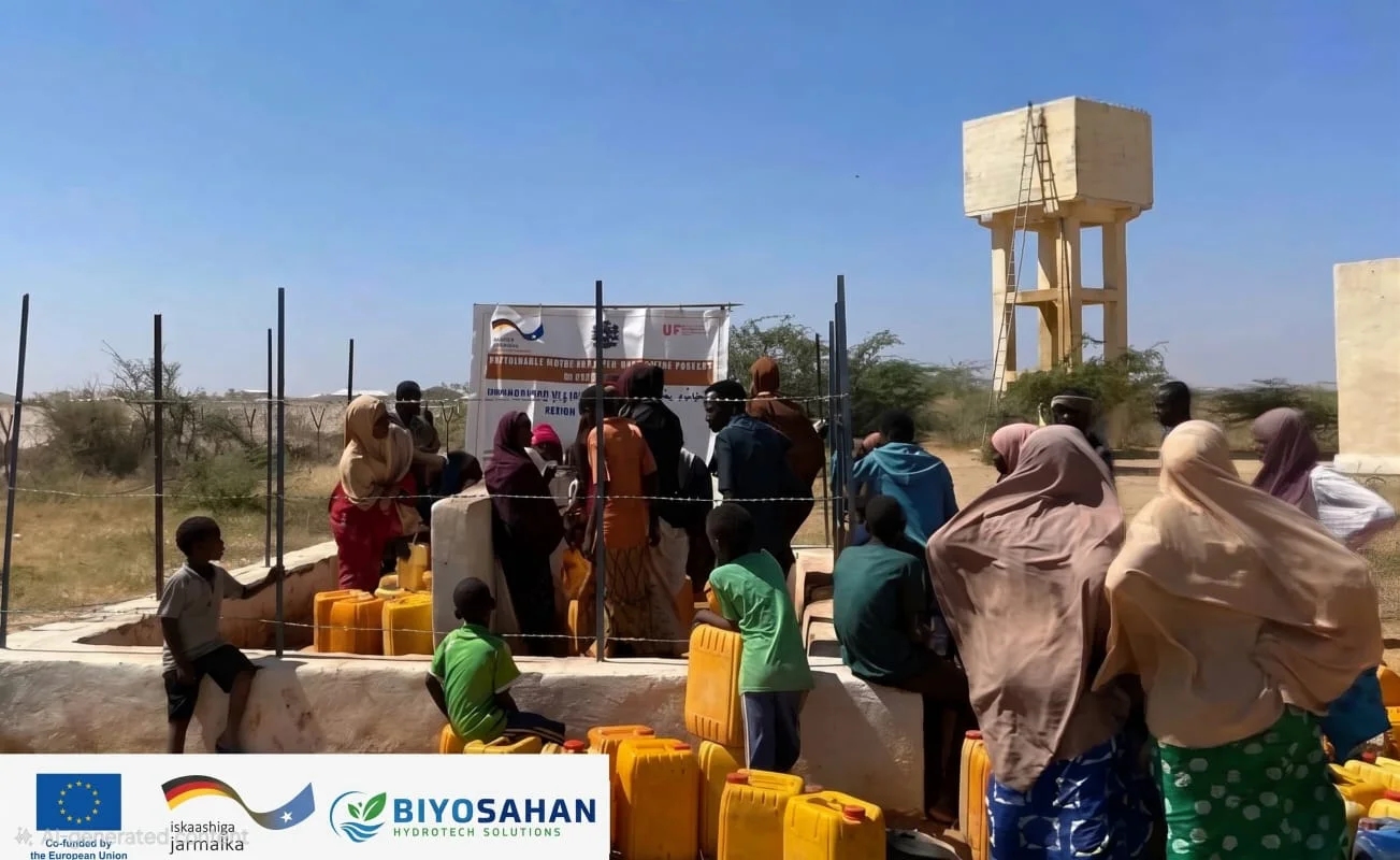
- Inclusive Service Delivery ($15M): Construction and rehabilitation of high-capacity, multi-purpose boreholes equipped with solar pumping systems to serve over 185,000 beneficiaries in vulnerable borderlands.
- National Governance & Standards ($4.6M): Establishing a unified national groundwater management system, standardizing drilling protocols, data-sharing frameworks, and institutional capacity.
- Regional Transboundary Cooperation: IGAD leads regional coordination to study 80,000 km² of transboundary aquifers across Somalia, Ethiopia, and Kenya to enable equitable shared resource management.
3. Aquifer Assessment & Spatial Hydrogeology: IGRAC Frameworks
Data from IGRAC and regional hydrogeological mapping indicates that national aquifer mapping in Somalia now encompasses over 637,000 km².
- Hydrogeological Translation: Raw well logs and diver readings are being translated into numerical aquifer models and spatial risk maps to guide sustainable yield calculations.
Sources and References
- Ministry of Energy & Water Resources (MoEWR) / IGAD: Horn of Africa Groundwater for Resilience (GW4R) "Abaartire" Project
- World Bank Group / IGAD: Groundwater for Resilience Project Implementation & Assessment Report (P174867)