Reference works

Project areas we support

Flexible project templates for water resources, engineering and environmental decision support.

Transboundary Groundwater Basin Monitoring (IGAD Region)01
IGAD Groundwater for Resilience Project (GW4R)

Transboundary Groundwater Basin Monitoring (IGAD Region)

Joint hydro-monitoring and data-sharing frameworks for shared border aquifers between Somalia and neighboring countries to prevent over-abstraction and manage regional storage.
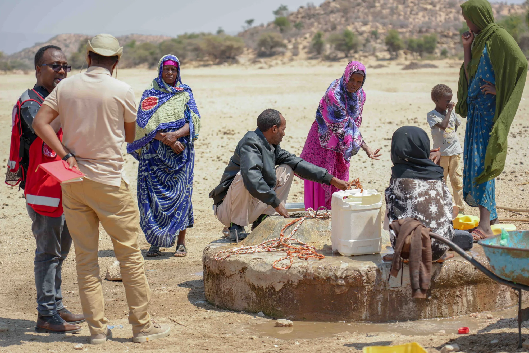
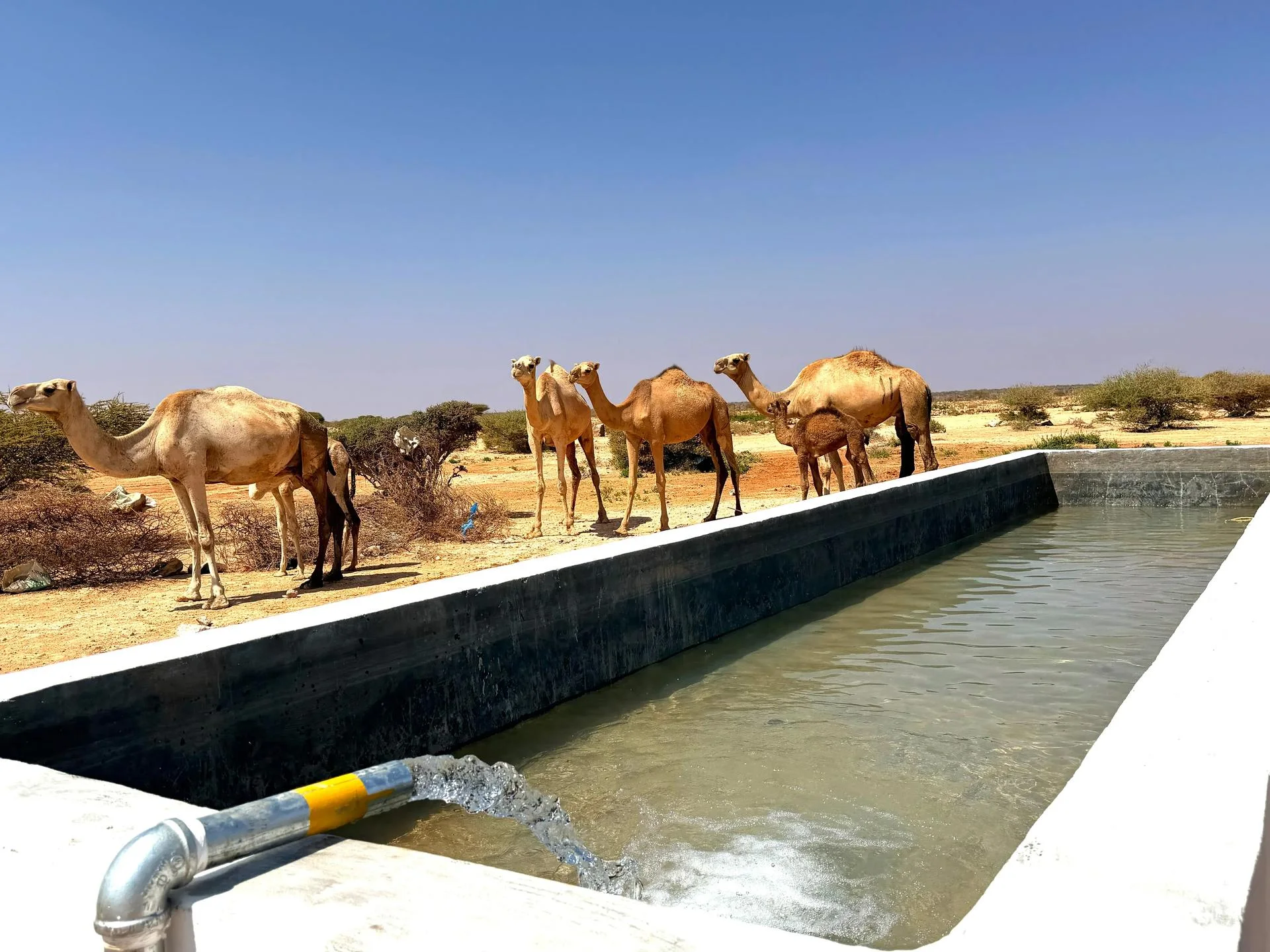
Pastoralist Drought-Resilient Watering Points02
Regional Drought Resilience Initiative

Pastoralist Drought-Resilient Watering Points

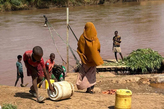
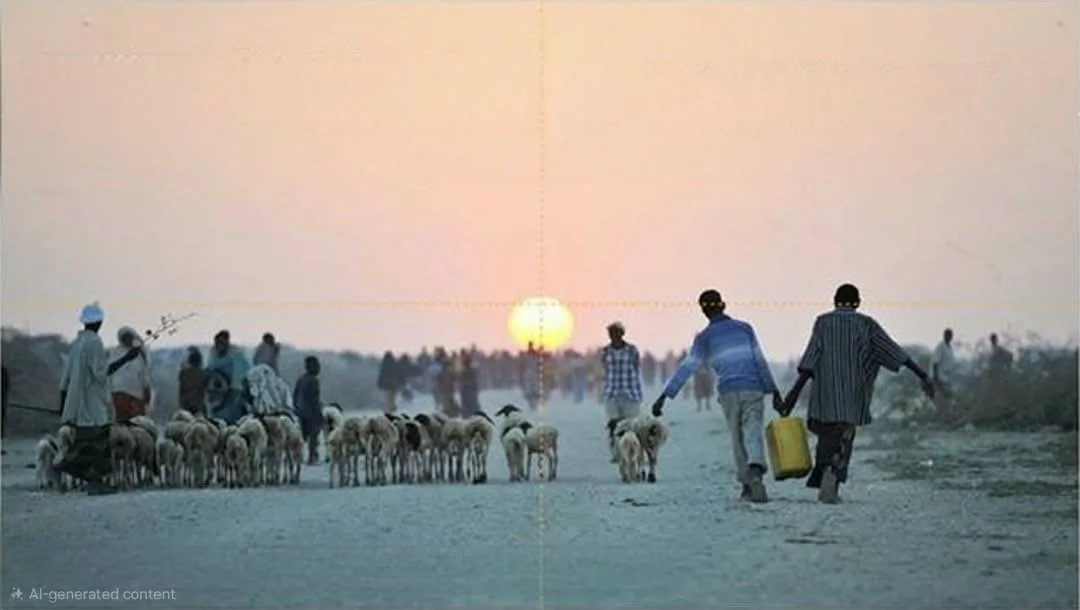
Establishing strategic, high-capacity livestock troughs and watering infrastructure linked to resilient deep groundwater sources along traditional nomadic migration corridors.

Climate-Resilient Solar-Powered Borehole Infrastructure03
Rural Water Supply

Climate-Resilient Solar-Powered Borehole Infrastructure

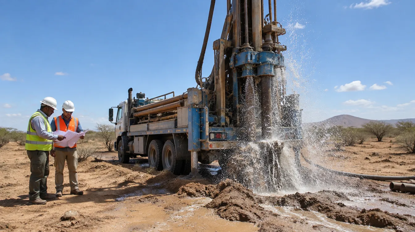
Designing and developing deep borehole systems equipped with solar pumping configurations to provide steady, low-carbon water access to vulnerable pastoral communities.

Juba & Shabelle River Basin Flood Early Warning Systems04
Flood and Water management unit

Juba & Shabelle River Basin Flood Early Warning Systems

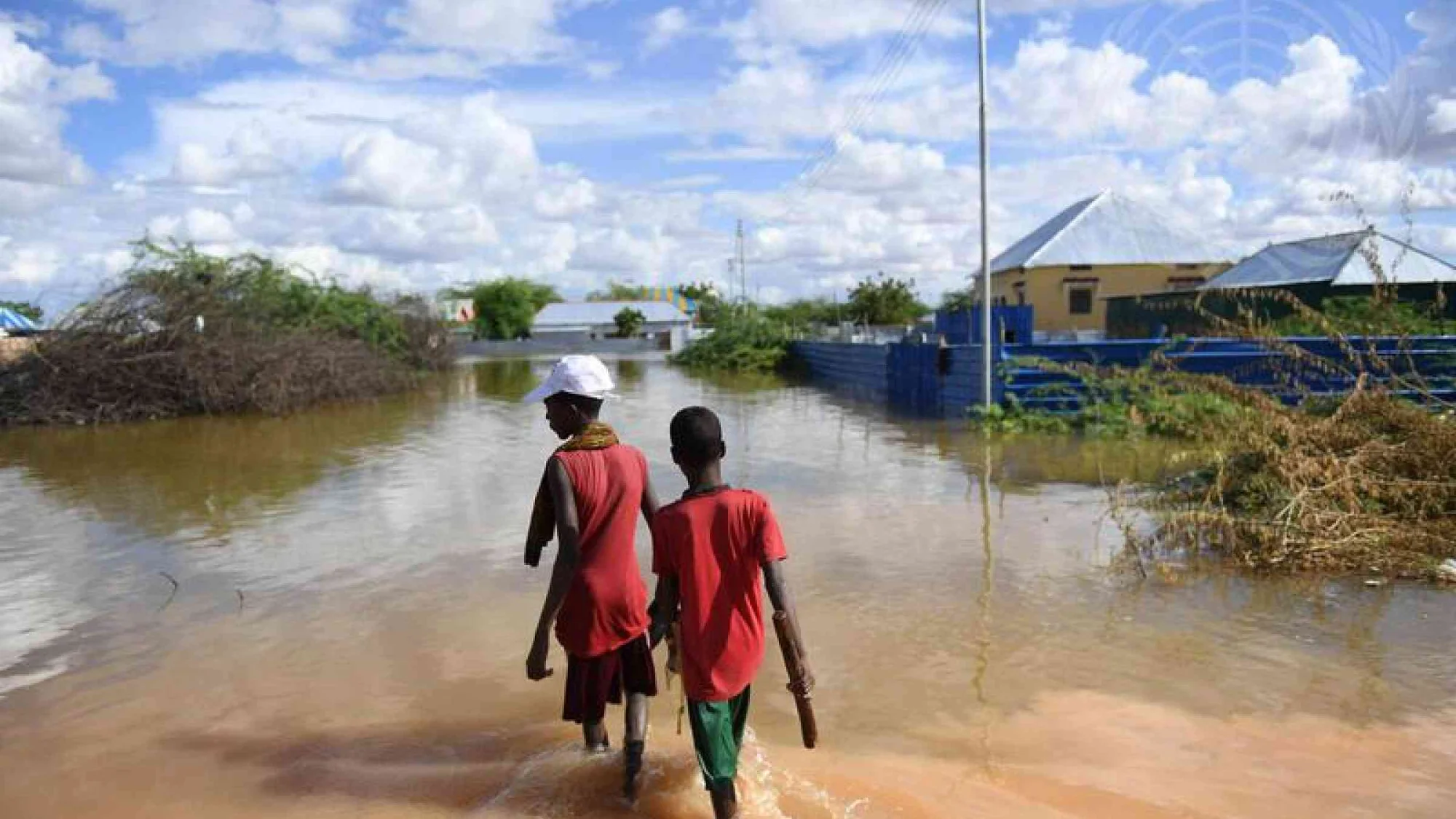
Implementing hydrometric monitoring stations, rainfall-runoff modeling, and digital early-warning tools to mitigate catastrophic seasonal riverine flooding in southern agricultural regions.

Strategic Water Harvesting/Catchment & Earth Dam Rehabilitation05
Water Harvesting

Strategic Water Harvesting/Catchment & Earth Dam Rehabilitation

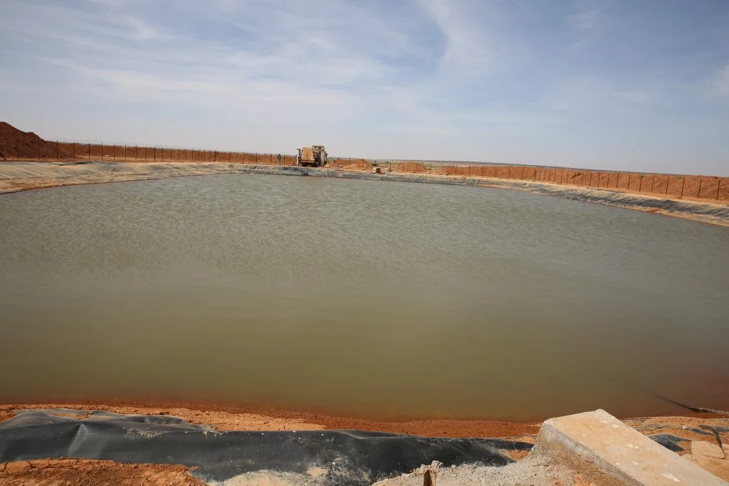
Rehabilitation and expansion of traditional surface water catchments, berkads, and charco dams to capture seasonal runoff during Gu and Deyr rainy seasons.

Coastal Aquifer Saline Intrusion Assessment & Mitigation06
Coastal Aquifer Management Standards

Coastal Aquifer Saline Intrusion Assessment & Mitigation

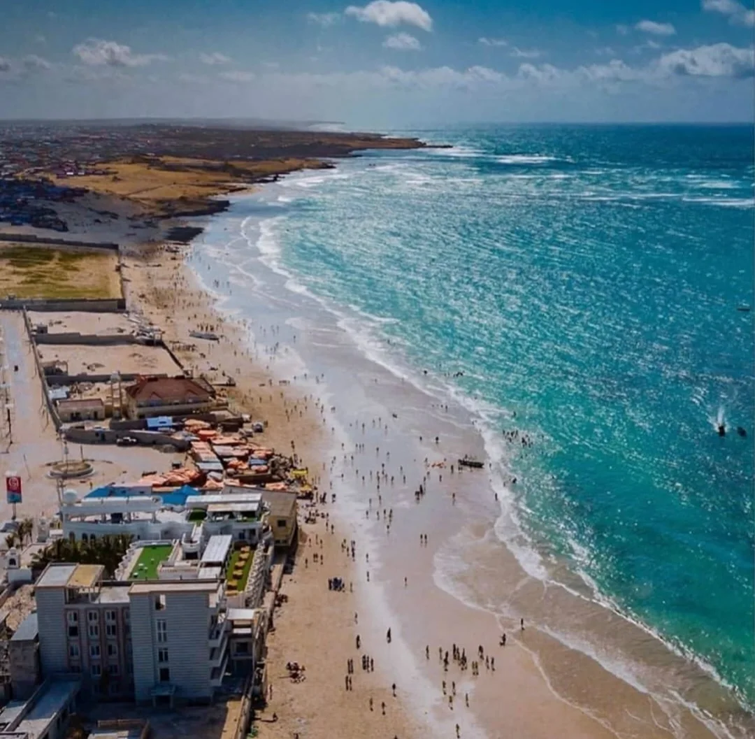
Monitoring and modeling freshwater-saltwater interfaces along Somalia’s extensive Indian Ocean and Gulf of Aden coastline to protect vulnerable shallow wells from salinization.

Urban Wellfield Protection & Groundwater Quality Testing07
Urban Water Quality Standards

Urban Wellfield Protection & Groundwater Quality Testing

Setting up rigorous hydro-chemical testing programs and protective zoning around municipal wellfields powering rapidly growing regional urban hubs

Capacity Building & Digital Water Information Systems08
Capacity Development Framework

Capacity Building & Digital Water Information Systems

Deploying customized GIS databases, hydro-informatics training platforms, and spatial decision-support tools for local ministries, water authorities, and engineering firms in Somalia.

National Hydrogeological Mapping & Aquifer Characterization09
Somalia Aquifer Assessments

National Hydrogeological Mapping & Aquifer Characterization

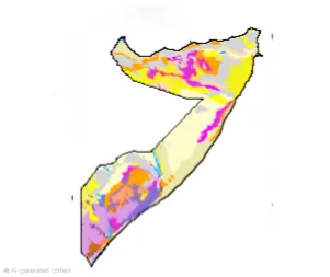
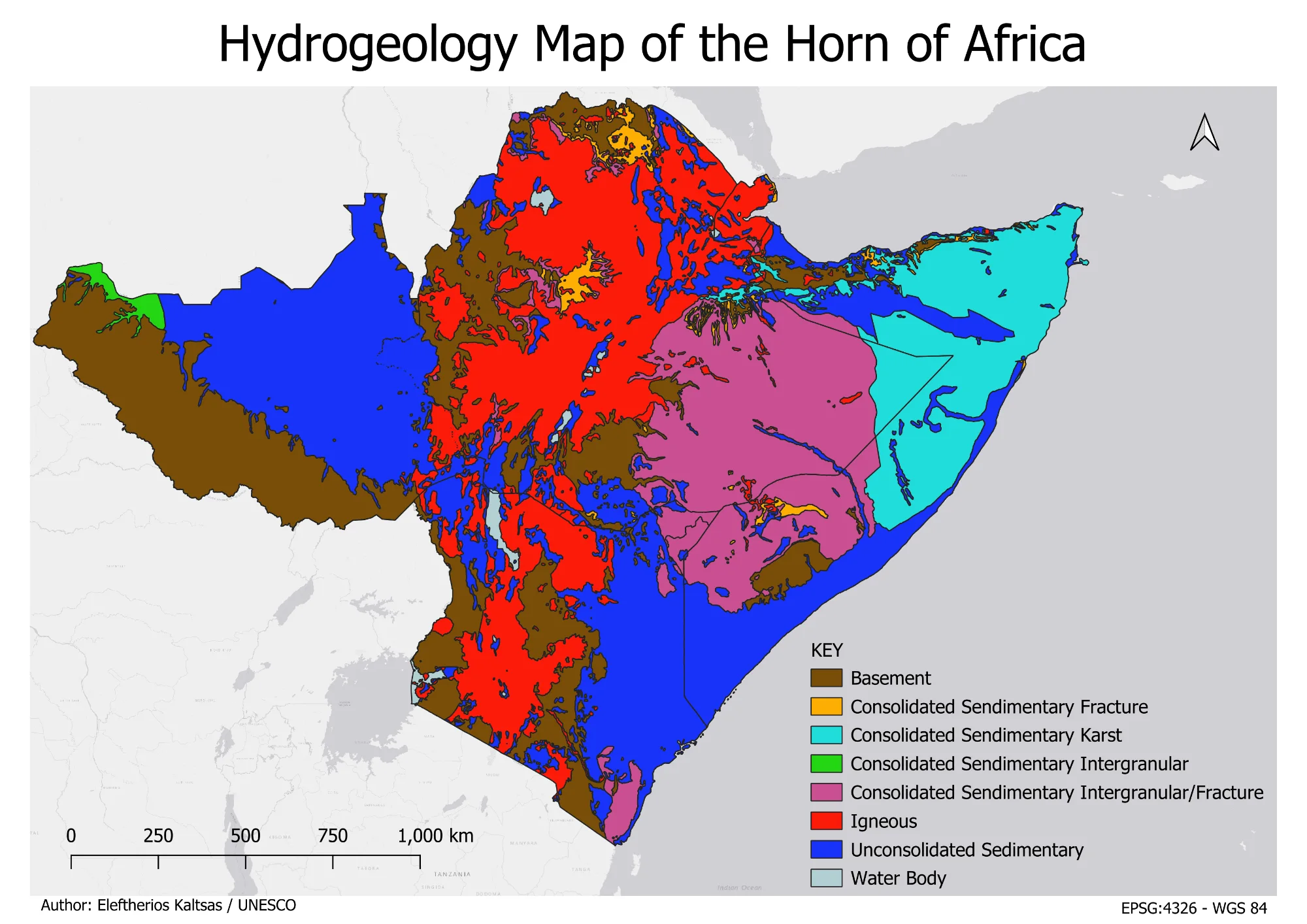
A nationwide baseline framework updating hydrogeological boundaries, rock formations, and groundwater potential zones across Somalia's major sedimentary and fractured rock basins.

Start a project

Let’s build a smarter water future

Contact us for GIS, hydrology, flood, drought, groundwater, coastal or environmental modeling projects.