
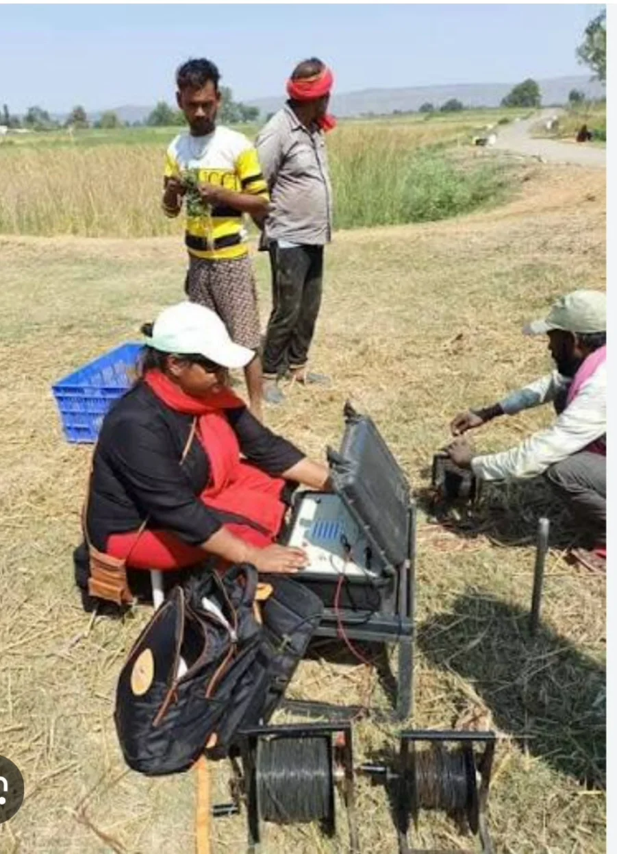
Hydrogeological & Geophysical Investigations
Comprehensive geophysical surveys and hydrogeological assessments to locate high-yield groundwater targets, map subsurface structures, and reduce drilling risks.
Hydrogeological & Geophysical Investigations
Accurate subsurface characterization is the cornerstone of sustainable groundwater development. At Biyosahan HydroTech Solutions, we combine advanced surface geophysics with rigorous hydrogeological analysis to identify high-yield aquifer zones, evaluate aquifer geometry, and minimize the risk of dry holes.
Our integrated approach bridges regional hydrogeological data with precise site-specific investigations, ensuring optimal placement and long-term viability for water supply, agricultural, and industrial borehole projects.
Scope of services
- Advanced Electrical Resistivity Tomography (ERT) & Vertical Electrical Sounding (VES): High-resolution subsurface profiling to determine lithological variations, depth to water table, and aquifer boundaries.
- Structural & Geological Mapping: Identification of regional fault lines, fracture zones, and permeable formations that govern groundwater movement.
- Aquifer Hydraulic Property Estimation: Assessment of expected yields, transmissivity, and storage coefficients based on geophysical and geological correlations
- Borehole Site Selection & Risk Mitigation Reports: Comprehensive pre-drilling technical reports providing exact GPS coordinates, expected drilling depths, and geological succession logs to eliminate exploratory guesswork.
- Pumping Test Supervision & Evaluation Guidance: Technical advisory on post-investigation testing to determine safe yield and sustainable extraction rates.
Our method
Discover
We understand the problem, data availability and expected outputs.
Model
We build scientific models, maps and simulations using suitable tools.
Validate
We review data quality, calibrate results and document assumptions.
Deliver
We deliver reports, dashboards, training and decision-ready outputs.
More from Biyosahan
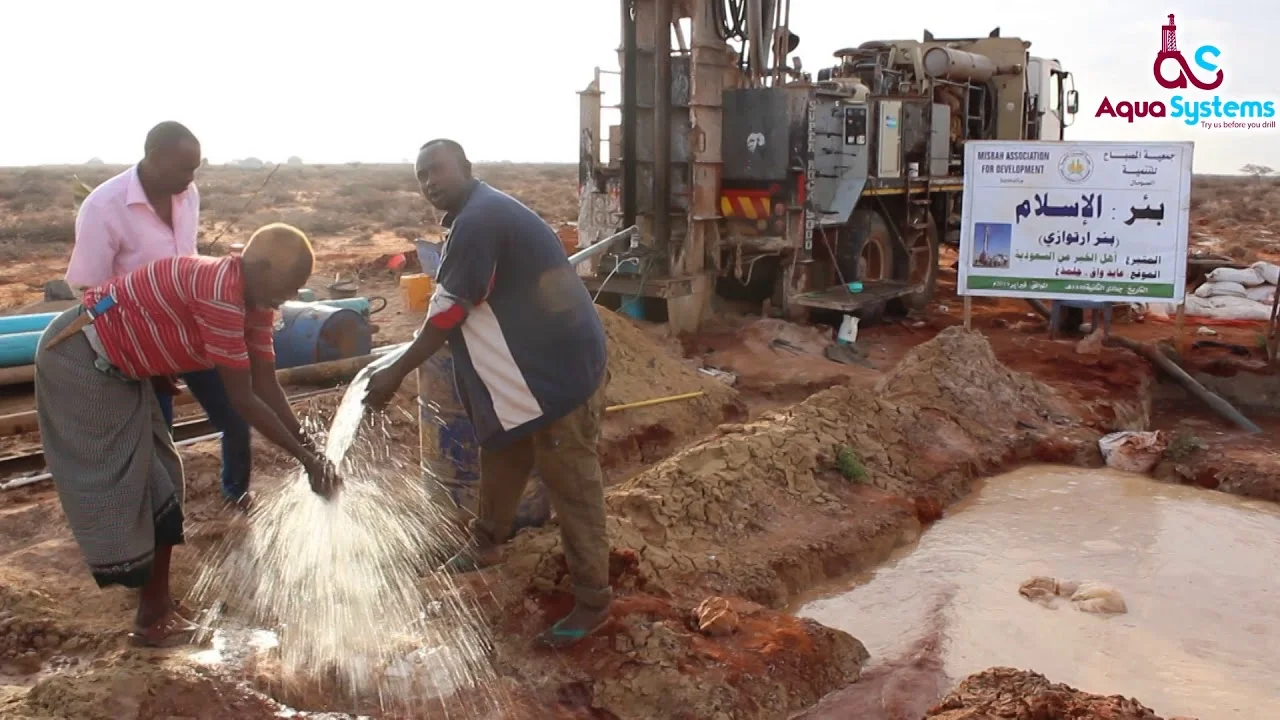
Hydrogeology & Water Resources Services
Comprehensive hydrogeological investigations, aquifer characterization, numerical groundwater modeling, and sustainable water supply development solutions tailored for regional water security.
- Water supply feasibility analysis
- Geologic mapping
- Drilling supervision and hydrogeologic logging
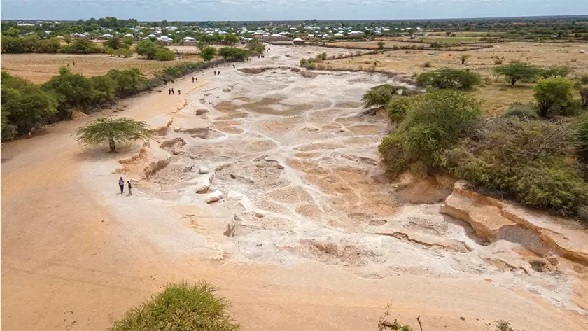
Drought & climate resilience
Drought forecasting, vulnerability mapping and water-harvesting solutions that secure water resources for the long term.
- Drought severity & vulnerability mapping
- Water budget & drought forecasting
- Climate resilience planning
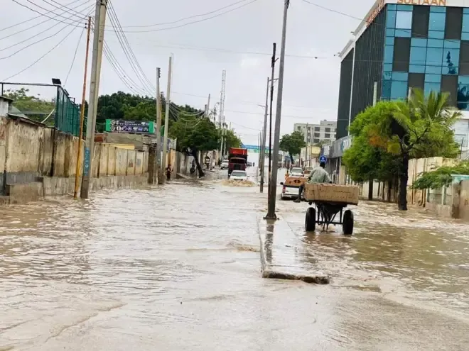
Flood risk & early warning
Hydrological modeling and hazard mapping for early warning systems and evacuation plans that protect lives and infrastructure.
- Flood hazard maps
- Risk assessment
- Hydrological & hydraulic flood modeling
Find out more
Explore our website and trusted resources on water, groundwater and climate.