
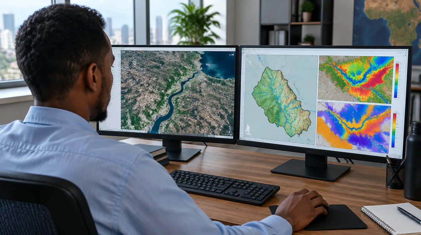
GIS consulting
Advanced spatial analysis, high-resolution hydrogeological mapping, satellite remote sensing, and enterprise geodatabase design for sustainable water resource management.
GIS consulting
Biyosahan HydroTech Solutions delivers expert spatial analysis, high-resolution hydrogeological mapping, and satellite imagery interpretation to support complex water resource planning, irrigation management, and infrastructure development. By leveraging cutting-edge GIS frameworks and remote sensing technologies, we transform raw spatial data into actionable intelligence.
Our solutions empower decision-makers, government entities, and humanitarian organizations to visualize regional hydrological dynamics, assess environmental vulnerabilities, and build robust decision-support dashboards for sustainable resource allocation across East Africa and beyond.
Scope of services
- Google Earth Engine integration for regional digital elevation model (DEM) and environmental dataset processing
- Comprehensive environmental risk and climate vulnerability mapping
- ailored decision-support dashboards and spatial visualization for resource planning and irrigation networks
Our method
Discover
We understand the problem, data availability and expected outputs.
Model
We build scientific models, maps and simulations using suitable tools.
Validate
We review data quality, calibrate results and document assumptions.
Deliver
We deliver reports, dashboards, training and decision-ready outputs.
More from Biyosahan
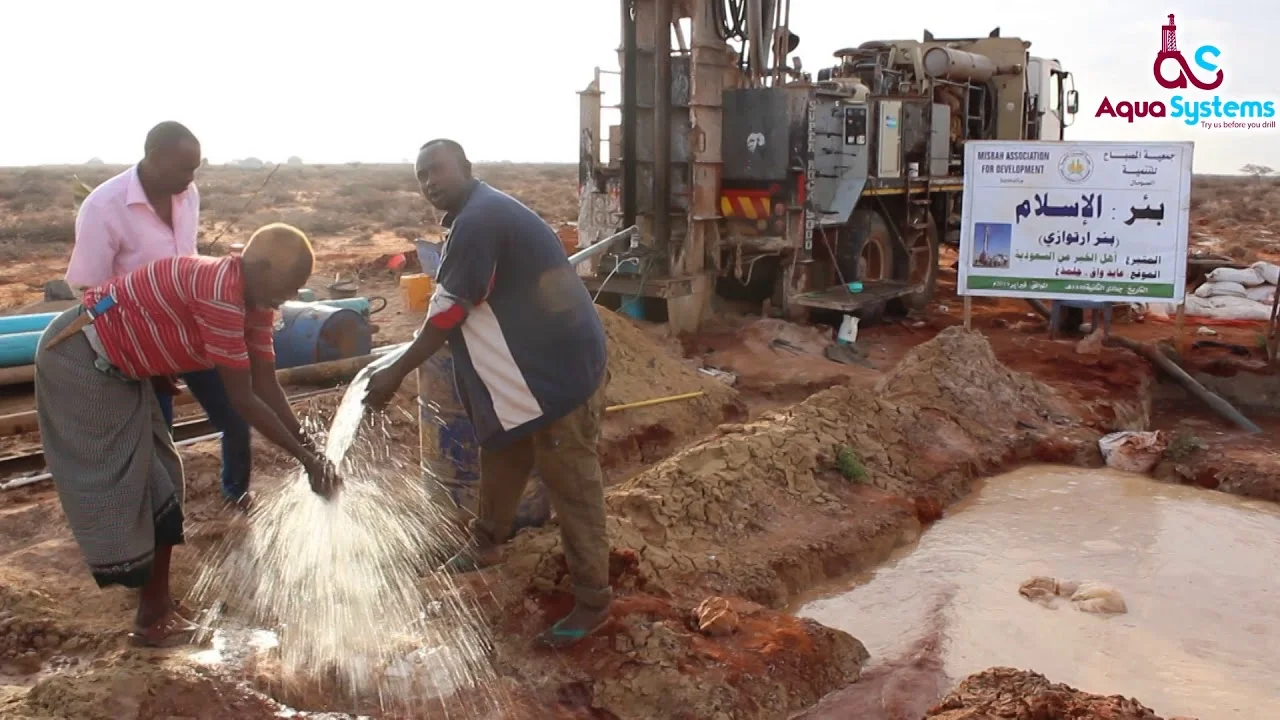
Hydrogeology & Water Resources Services
Comprehensive hydrogeological investigations, aquifer characterization, numerical groundwater modeling, and sustainable water supply development solutions tailored for regional water security.
- Water supply feasibility analysis
- Geologic mapping
- Drilling supervision and hydrogeologic logging
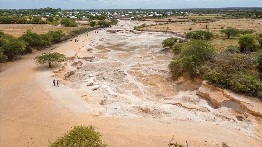
Drought & climate resilience
Drought forecasting, vulnerability mapping and water-harvesting solutions that secure water resources for the long term.
- Drought severity & vulnerability mapping
- Water budget & drought forecasting
- Climate resilience planning
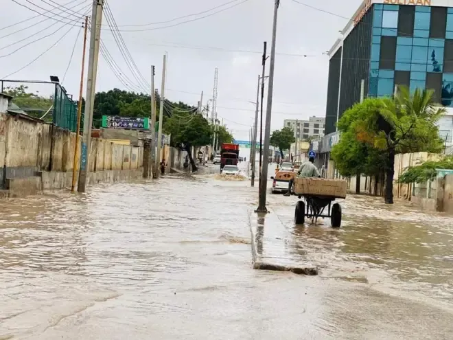
Flood risk & early warning
Hydrological modeling and hazard mapping for early warning systems and evacuation plans that protect lives and infrastructure.
- Flood hazard maps
- Risk assessment
- Hydrological & hydraulic flood modeling
Find out more
Explore our website and trusted resources on water, groundwater and climate.