
Sectors we serve
Delivering water, GIS and environmental solutions across key sectors in Somalia and the Horn of Africa.
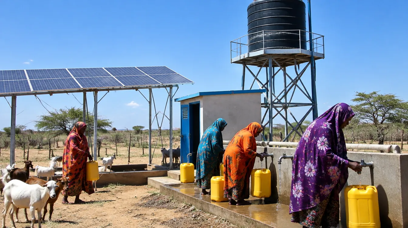
Water Supply & WASH
Groundwater availability assessments, monitoring networks and water-source protection for water supply and WASH programmes.
Disaster Risk & Climate Resilience
Flood hazard mapping, early warning, drought forecasting and resilience planning for communities and authorities.
Agriculture & Agro-pastoral Livelihoods
Water security for farming and pastoral communities, from water-harvesting feasibility to irrigation resource planning.
Cities & Municipalities
Urban flood risk mapping and spatial data that help municipalities plan drainage, infrastructure and land use.
Construction & Mining
Groundwater flow modeling for dewatering, drawdown prediction and pumping system design during excavation works.
Environment & Waste Management
Contaminant transport and leachate migration modeling for landfill sites and groundwater risk assessment.
Coastal & Island Water Supply
Saltwater intrusion modeling and freshwater lens studies for sustainable abstraction in coastal aquifers.
Education & Research
Professional training and applied modeling support for universities, researchers and technical institutions.
Who we work with
Find out more
Explore our website and trusted resources on water, groundwater and climate.
Let’s build a smarter water future
Contact us for GIS, hydrology, flood, drought, groundwater, coastal or environmental modeling projects.